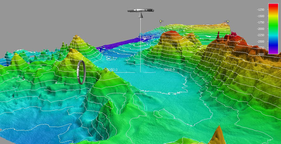
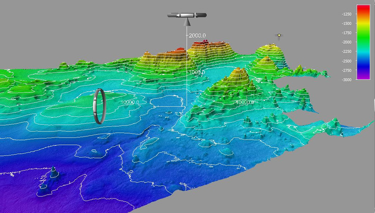
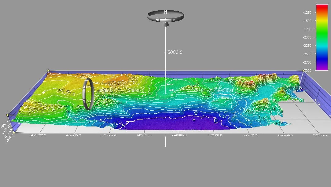
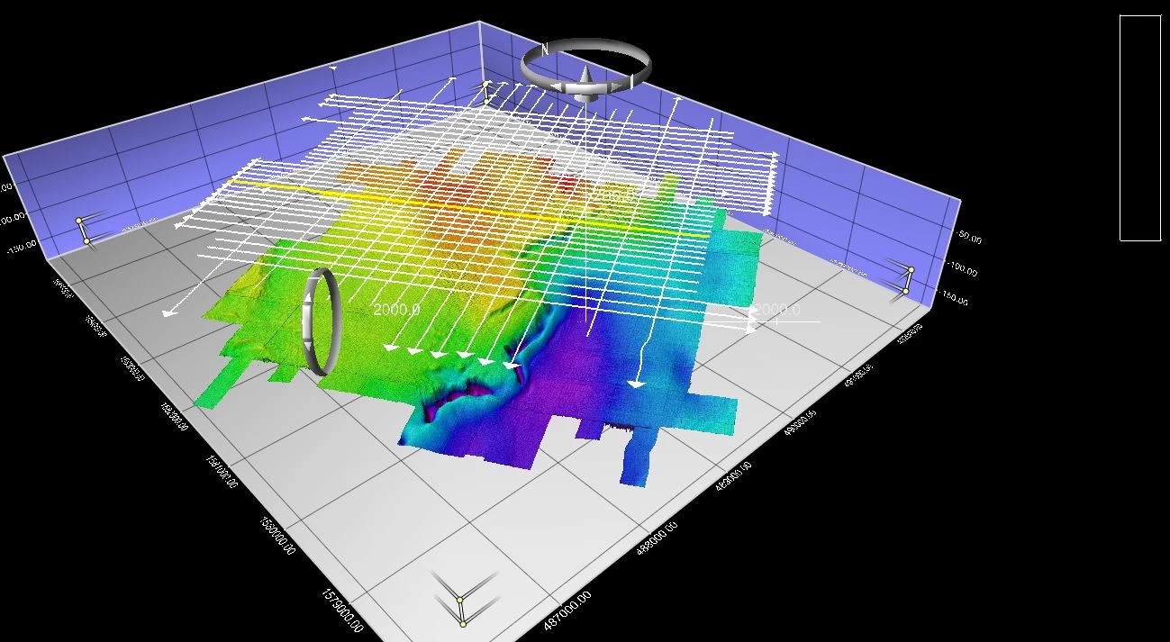
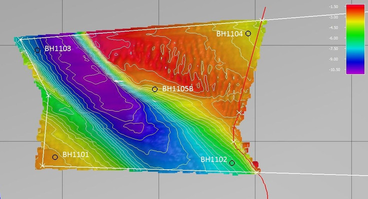
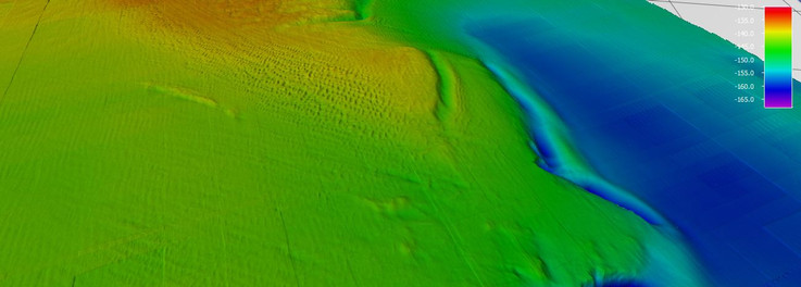
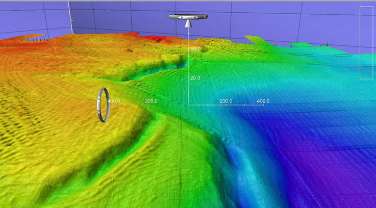
Bathymetry is the study of underwater depth of lake or ocean floors i.e. it is the underwater equivalent to topography. Bathymetric maps or charts show seafloor relief or terrain as depth contour lines (isobaths) or colour Digital Terrain Model to illustrate the depths being presented.
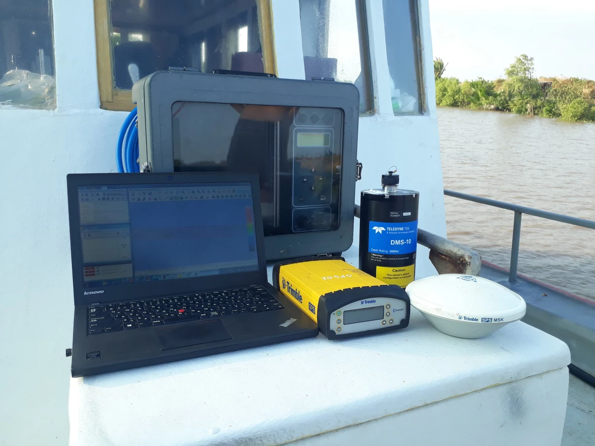
Bathymetric surveys allow us to measure the depth of a water body as well as map the underwater features of a water body. Multiple methods can be used for bathymetric surveys including multi-beam and single-beam surveys.
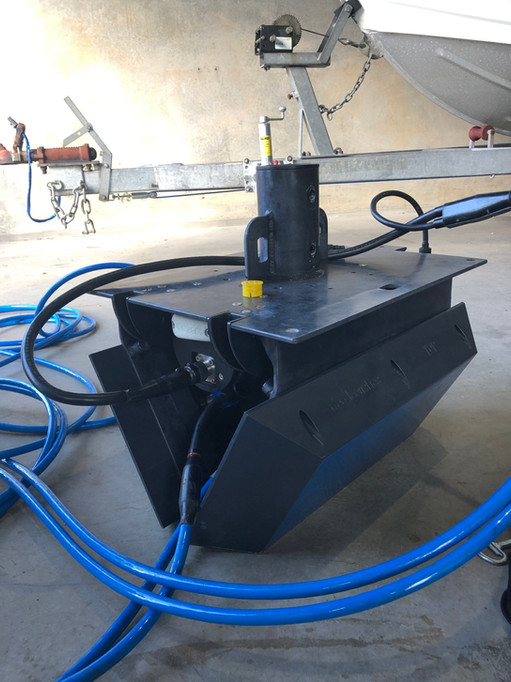
- Multi-beam surveying: A multibeam echo sounder attached to a boat sends out a wide array of beams across a "swath" of the waterbody floor. As the beams are bounced back from the waterbody floor, the data is collected and processed. The processed data can be viewed in real time on the boat during the survey. Multi-beam surveying is generally done in larger water bodies.
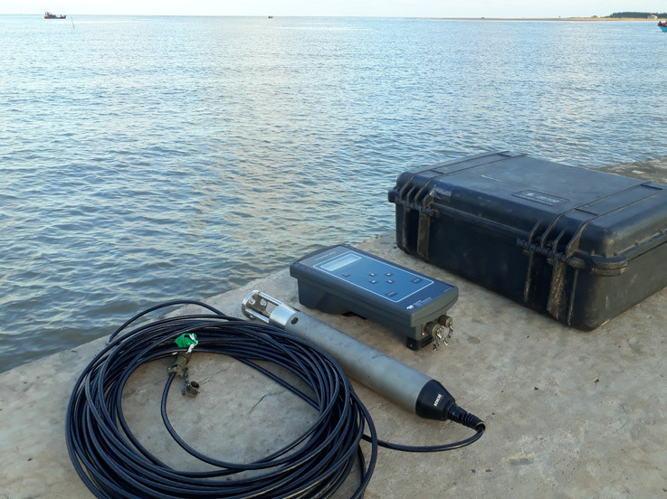
- Single-beam surveying: Rather than sending out a wide set of beams, single-beam bathymetry measures the water depth directly under the boat. Single-beam surveys are generally used for smaller water bodies.
APPLICATIONS::
- Offshore Construction
- Benthic Habitat Mapping
- Nautical Charting
- Military Rapid Environmental Assessments (REA)
- Route Surveys
- Dredging Operations
- Port & Harbor Security


