


TOPOGRAPHIC SURVEY
(LAND SURVEY)


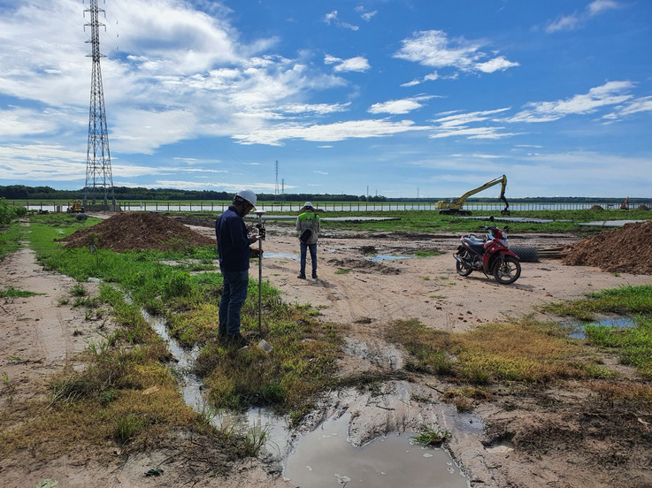


A Topographic Survey is a survey that gathers data about the elevation of points on a piece of land and presents them as contour lines on a plot. The purpose of a topographic survey is to collect survey data about the natural and man-made features of the land, as well as its elevations. Topographic maps are used to show elevations and grading features for architects, engineers, and building contractors.
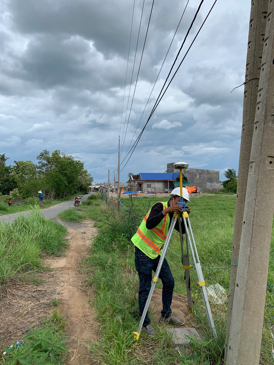
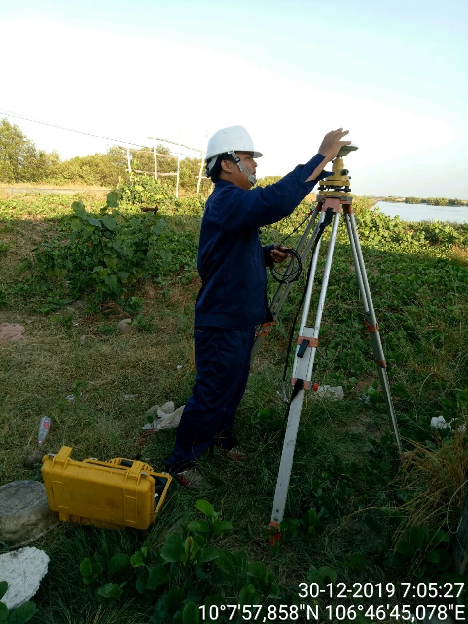
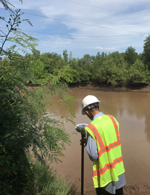
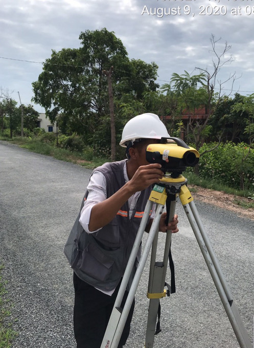
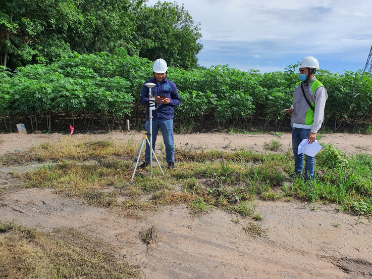
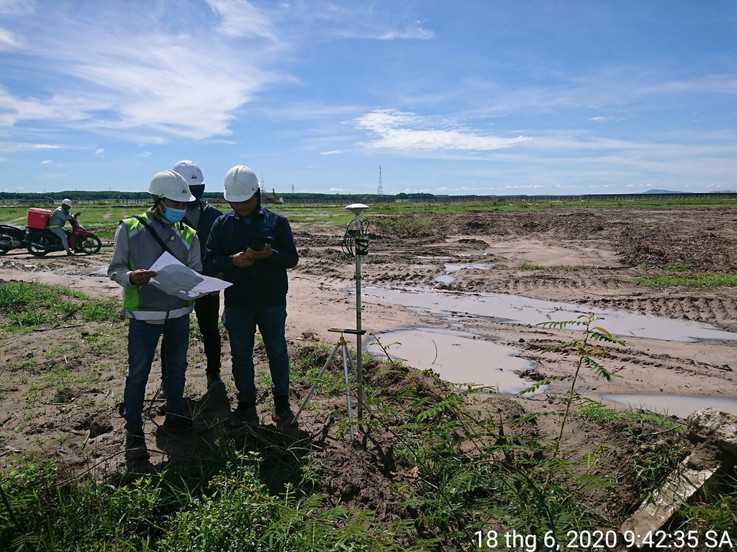
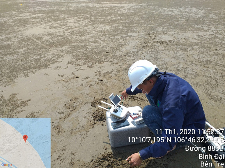
Viet Hydrographic Survey Co., Ltd (VHS)'s professional survey team is well-versed in topographic surveying. Utilizing the latest surveying technology, VHS's surveyors produce accurate, consistently reliable topographic surveys, saving you both time and money during the construction process.
At VIDEC we specialize in providing:
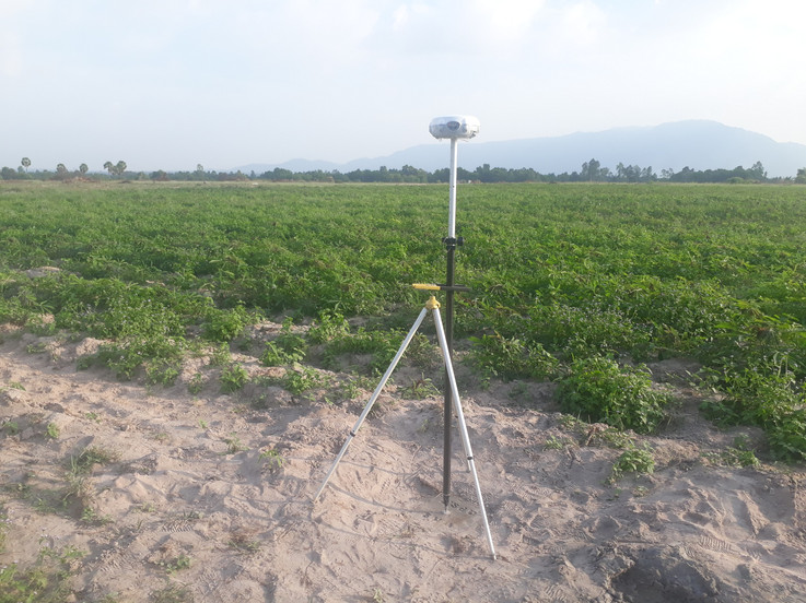
- Establishing a system of reference landmarks for coordinates and elevations according to TCVN standards.
- Topographical survey scale 1/500, 1/2000
- Survey of longitudinal and cross-sections
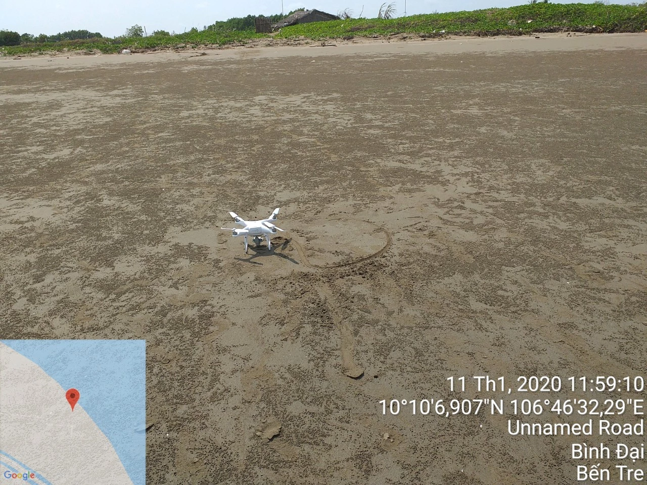
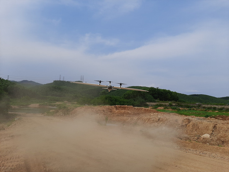
- The photogrammetric survey by drones.